

The Hike
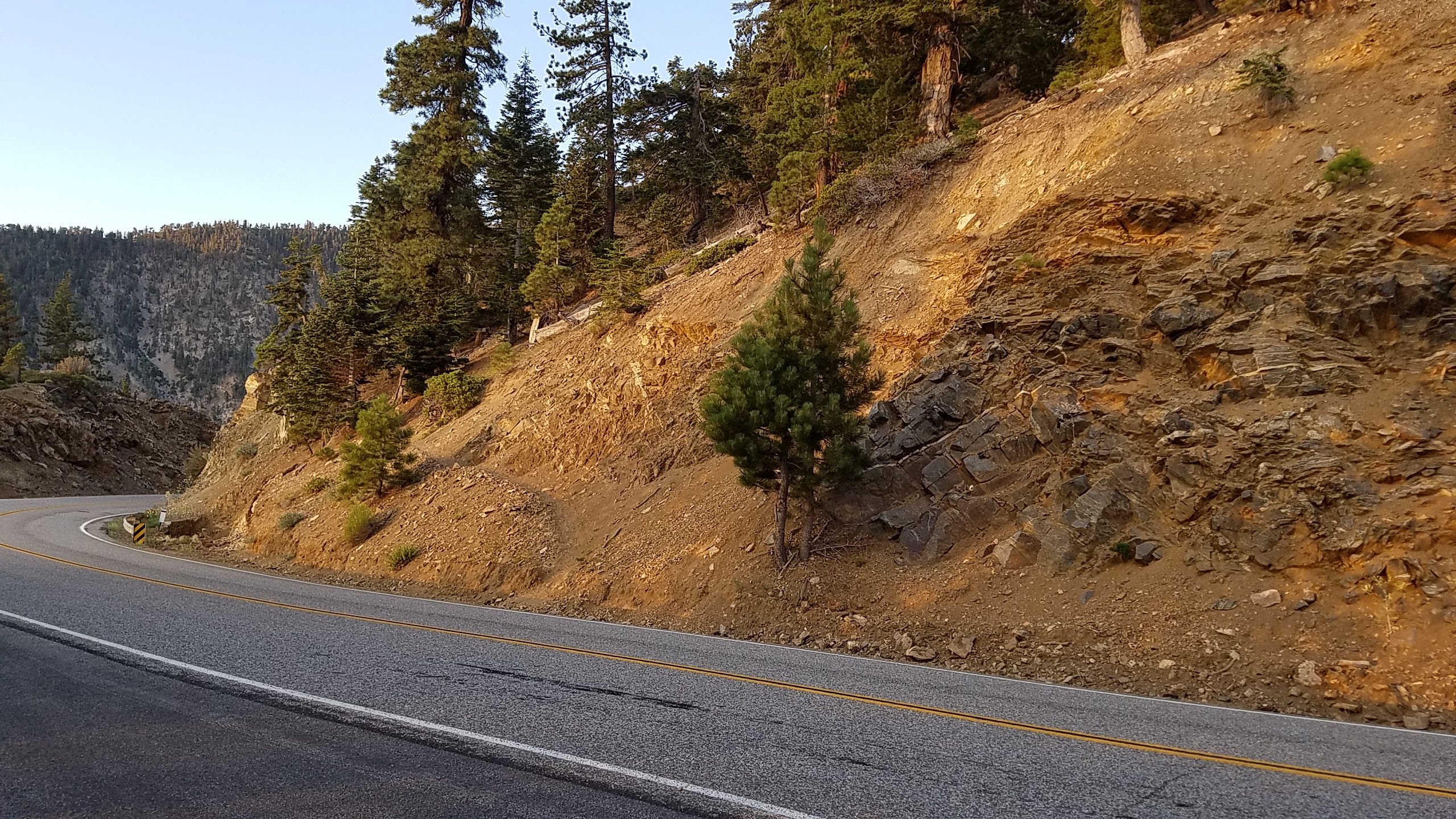
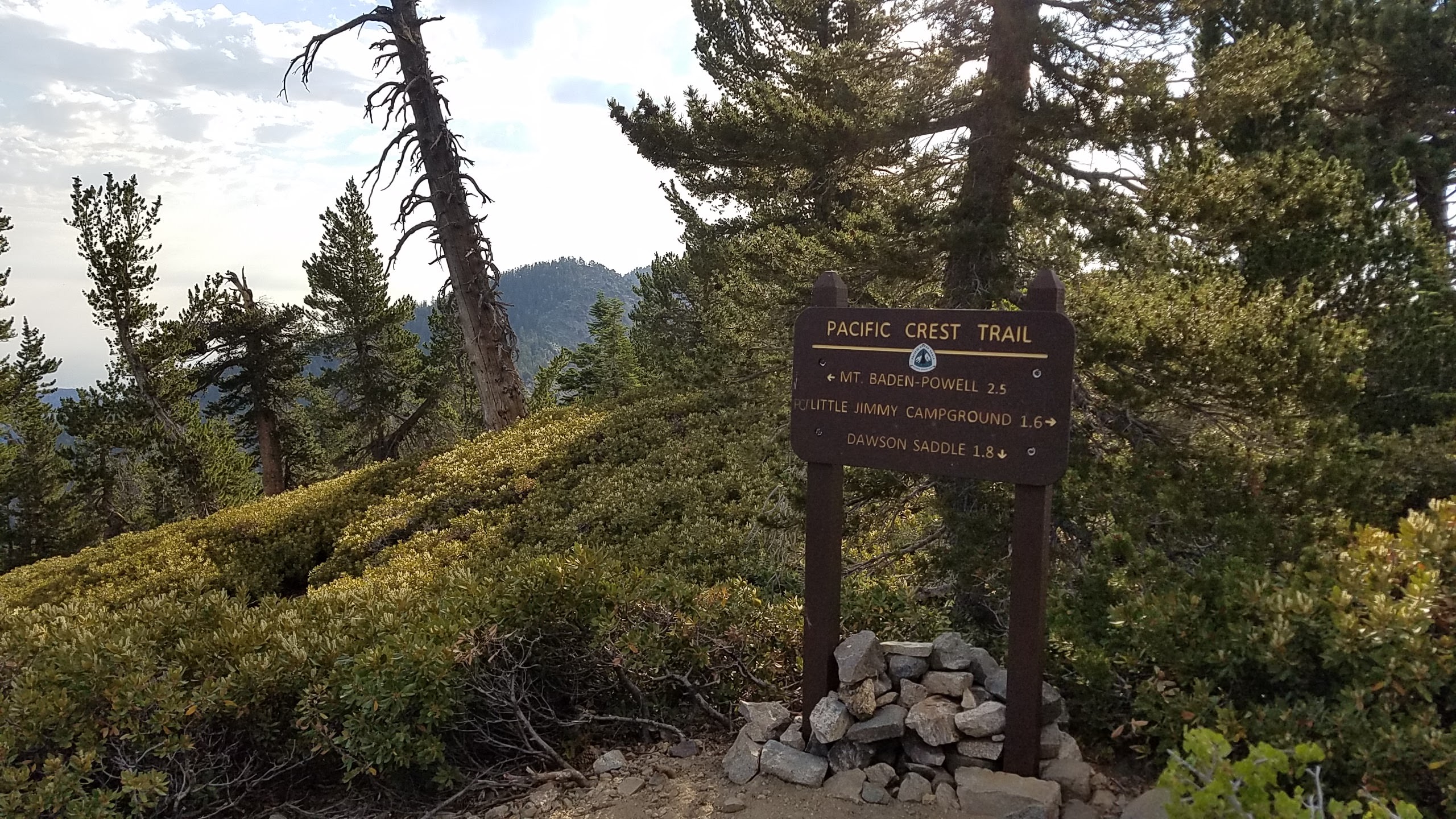
Trailhead
Today I decided to do a longer hike as I hadn’t done one in a while. Longer hikes tend to kick my butt on the way down due to a knee injury courtesy of the Navy.
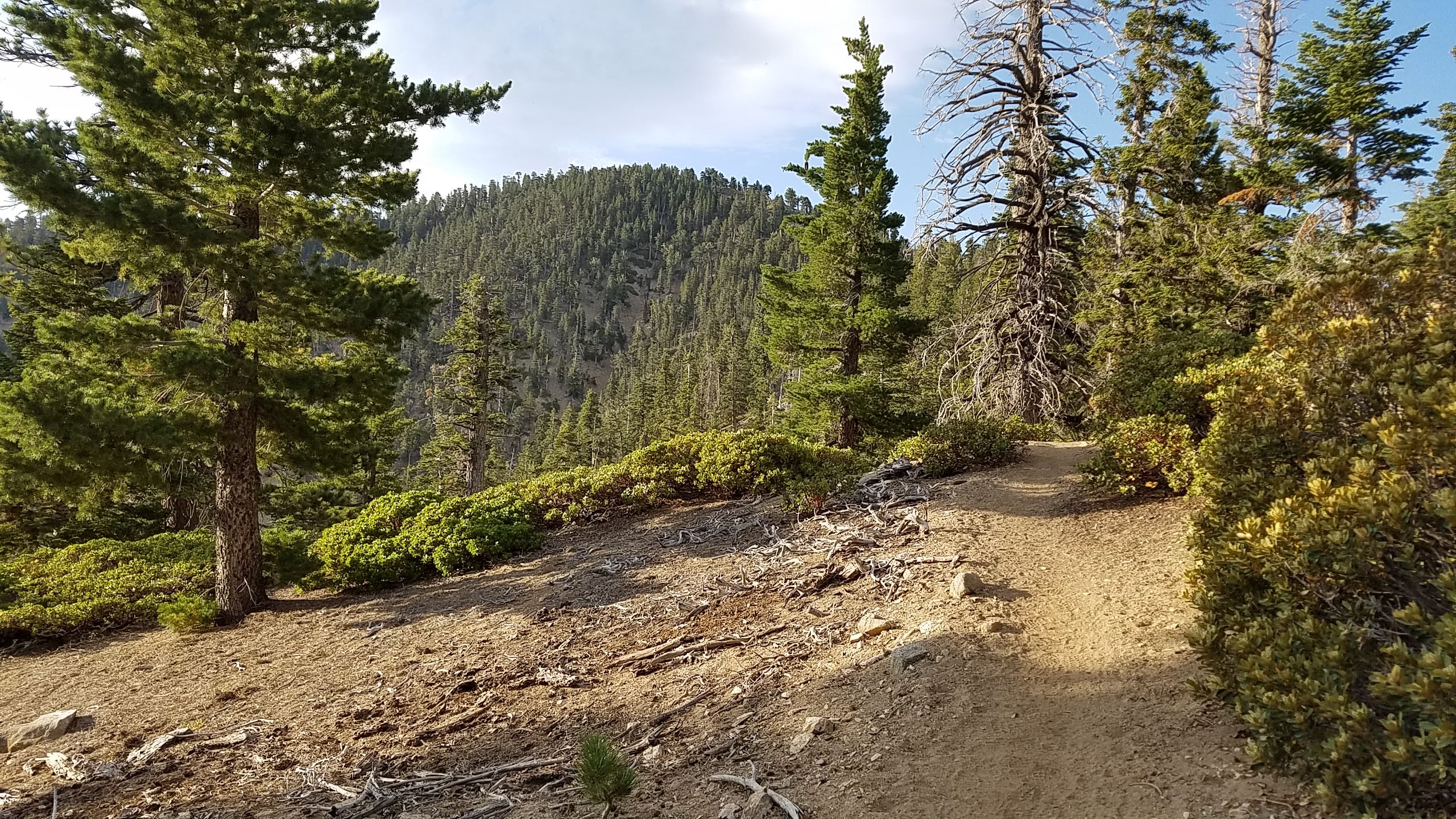
I believe that’s Throop in the distance
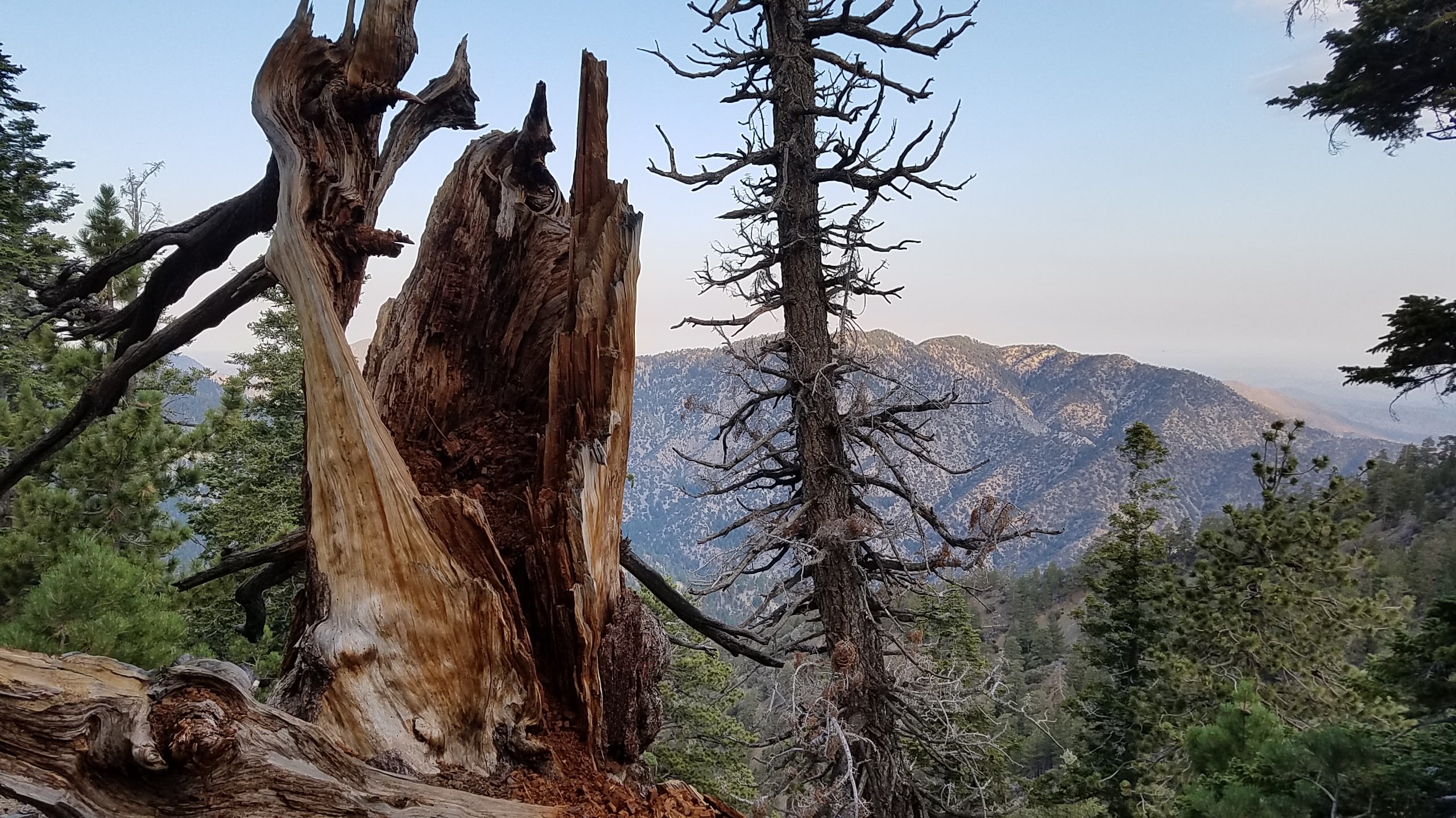
Cool tree cameo
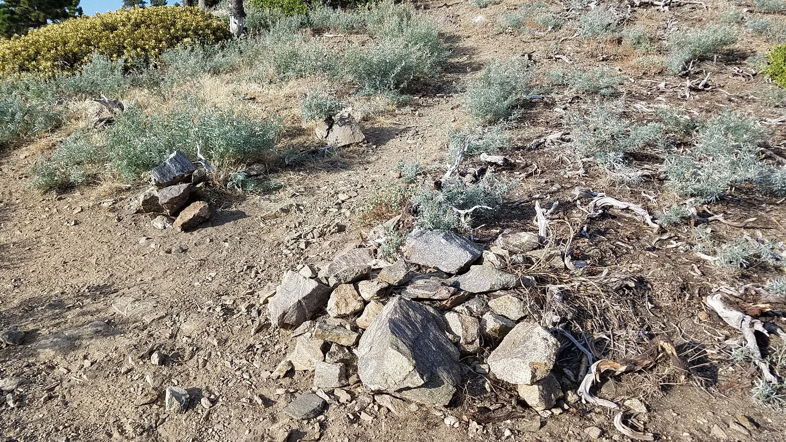
I had my GPS with me like I always do. You’re thinking “it’s a trail, how lost could you get?” Well trust me if there’s a way to get lost I will find it. I followed the trail and kept following not paying attention to my gps. Before I knew it I came to a junction which didn’t seem right. I missed a turn somewhere.
The point where I realized I missed a turn
At this point I hooked a right and came to another junction; you’ll want to turn right here at the rocks as well.
Turn Right
After winding my way up I finally made it. There was another couple there and we started talking ham radio. The gentlemen was telling me how he would listen to shortwave and get QSL’s from Hams when he was a kid. He mentioned that he thought about getting his license now that there was no code on the test. I told him he should, because it’s not only good for safety but a lot of fun. Hopefully I nabbed a new ham.
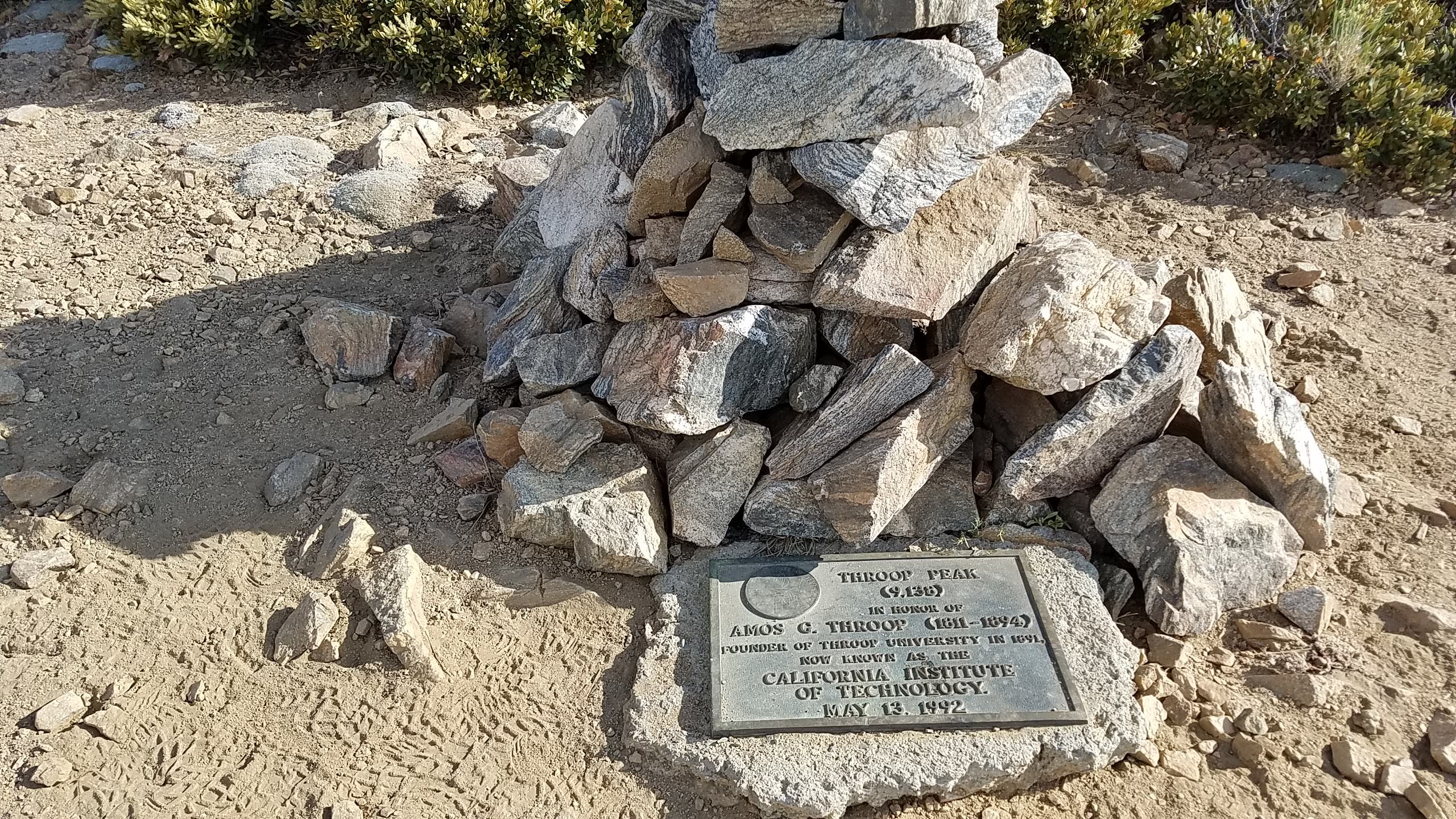
Throop Peak
I had to move down a bit to one of the trees as there isn’t much to support the jackite. This was fine as I would be out of the way of any hikers.
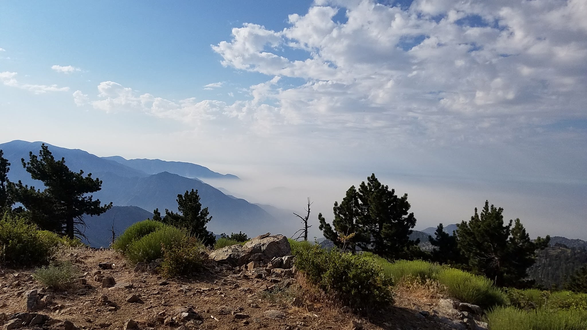
View looking South
The Activation
As with any peak in the San Gabriel’s I started with 146.520 FM. Oh I also had to APRS spot myself due to the lack of cell reception. Picking up 5 contacts seemed to come pretty quick. There was even on down in San Diego. It amazes me what my homemade Dr. Ed Fong J-Pole will do.
What a mess
I setup an inverted-V to work some 20 meters. Sadly there wasn’t a sole to be had on this band. Even with putting out a spot. Feeling deflated I wrapped things up. Sure I could have tried 40 meters but I figured it was a successful activation and it was starting to get warm.
The hike down was rough as I took the way I was supposed to come up. The trail is barely visible in some areas leaving me guessing. Eventually I made it back to the fork where it joins up with the main trail. Then with my messed up knee I hobbled my way back down to the car. I think the total hike mileage was 4.27 miles. Not bad but it seemed a lot longer.
On my way out I saw Mt. Lewis which I would have loved to do but with it’s reputation for not being kind to FM activations and propagation being what it was I opted to sail on by.
No responses yet